Riding Johnson Canyon Road (Utah) on a Gravel Bike
(There may be affiliate links in this post - these provide us a small commission if you purchase through our link at no added cost to you. Thank you!)
When I was a kid, I used to look out at the odd road or random trail disappearing into the countryside while our family car passed on the highway and wonder… “where does that go?” As I got older and found myself with my own car, backpack, and/or bike, I realized that I could finally explore some of those whims! With that delight, I also quickly learned that a little bit of a plan can go a long way, and that learning about a route to plan food, water, and other supplies could keep the adventure going.
When Matt, our Dude, the pets, and I pulled into a campsite at Bauers Canyon Ranch RV Park in Glendale, Utah, north of Kanab and delighted in the apple trees dropping fruit all around us in the old orchard. While wandering to walked the dogs in the morning and evening, there was one road that kept grabbing my attention. On the west end it’s called Glendale Bench Road and by the time it winds it’s way east, then south, it concludes about 34 miles later on Highway 89 (just east of Kanab).
It’s an unsuspecting-looking road, starting with nearly fist-sized gravel and going straight up the “bench” from the town of Glendale. There wasn’t a lot of written information about it at the time. But I couldn’t resist, so I began googling it, looking at a map, satellite images, and deciding that I needed to ride this stretch on my bike.
I had no idea what I was in for.
On the day I departed, I left just as the sky was lightening. I packed my normal riding pack of water, food, energy chews, and tools and flat repair kit. But because it was remote, I also took a walkie-talkie (we didn't have the Garmin InReach yet and I definitely would have taken it on this ride), headlamp, external battery charger, an extra layer of clothing, and downloaded my maps so I could access them offline.
Matt and I made our plan: I would head out and ride for a few hours. He and Eric would have an easy morning and then take the truck up the same route to see when and where they’d catch me. I’m really glad we planned it this way for two reasons: first, once I got a few miles out, I lost all cell signal and the walkie-talkies wouldn’t connect unless he was getting close; the second reason would come at the end of my ride.
Now, the first few miles was enough to make me question what in the world I was doing. In less than three miles, I climbed nearly 1500 feet. I think I was walking my bike as much as I was riding it in those few miles because the inclines were steep, followed by flatter sections. There were also plenty of “teaser” peaks: the hills you climb hard thinking you’re almost there, only to reach a flat and see the next climb coming up. Ugh.
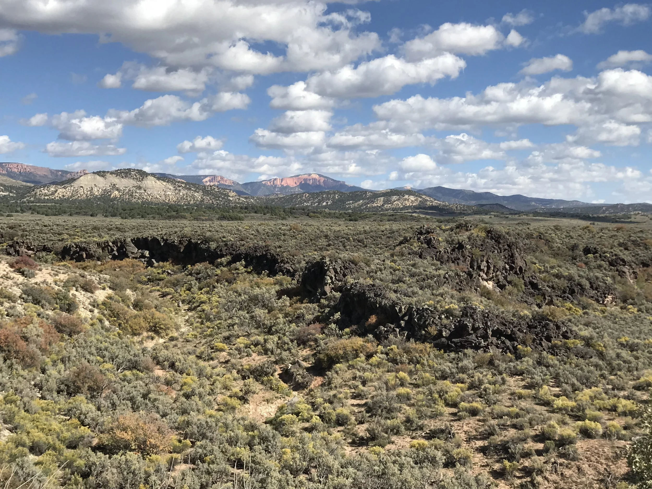
Once I finally reached the peak of the peak of the peak, the views opened up and I realized I was seeing the backside of Bryce Canyon National Park! The gravel at the beginning of this ride was brutal: huge chunky rocks that not only bounced the heck out of everything, but made it nearly impossible to ride in a straight line.
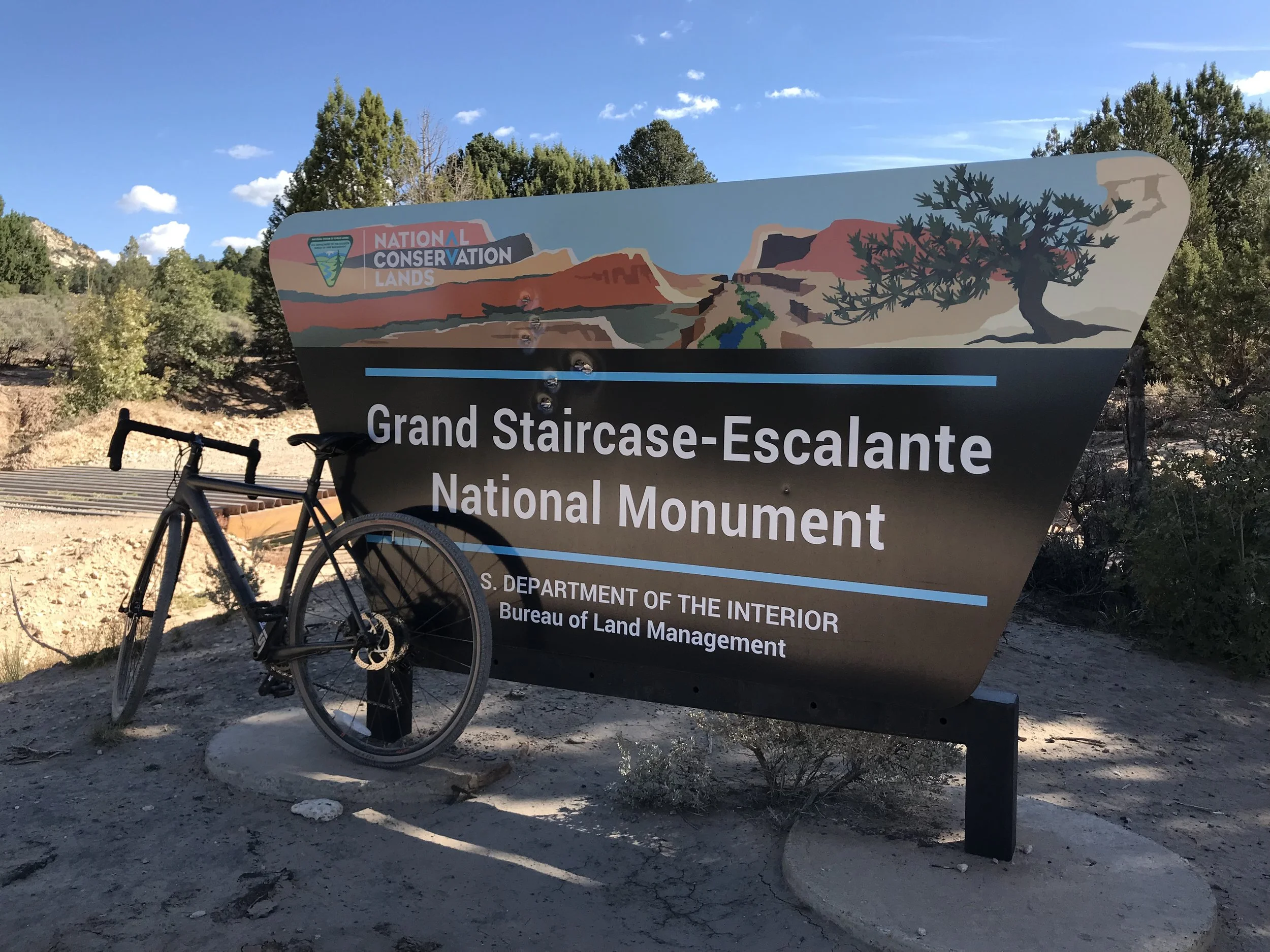
But… what I didn’t realize until I saw the sign… was that I was going to ride straight into Grand Staircase-Escalante National Monument!
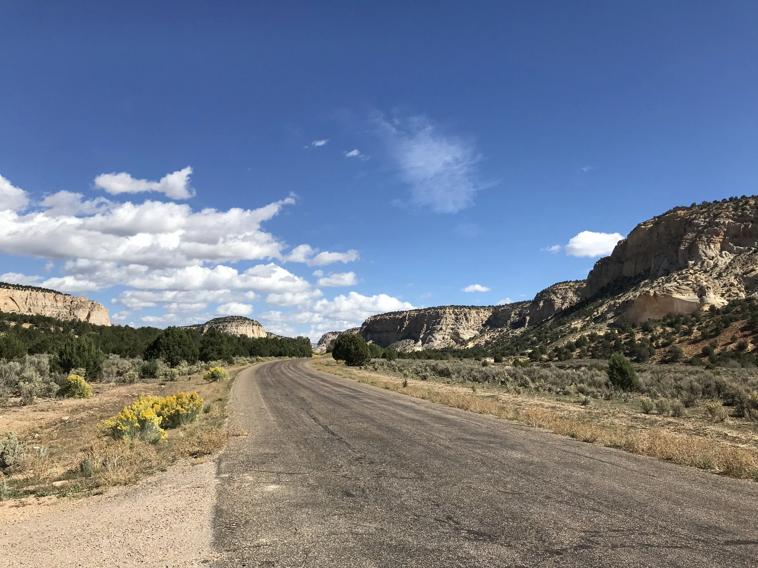
Almost instantly, the gravel became smaller, completely bearable, and a whole lot more fun. This section of the road was beautiful with vast stretches of beautiful views and small canyons beginning to open up. At this point, I was texting Matt to tell him to definitely leave plenty of time to enjoy the ride - hoping he’d get the text if I picked up a whiff of cell signal as I rode.
This is obviously a very popular area of off-road enthusiasts, too, many of whom were packing up their ATVs, RVs, and campsites from the weekend and heading back home as I rode past. But the beauty of this road wasn't over yet.
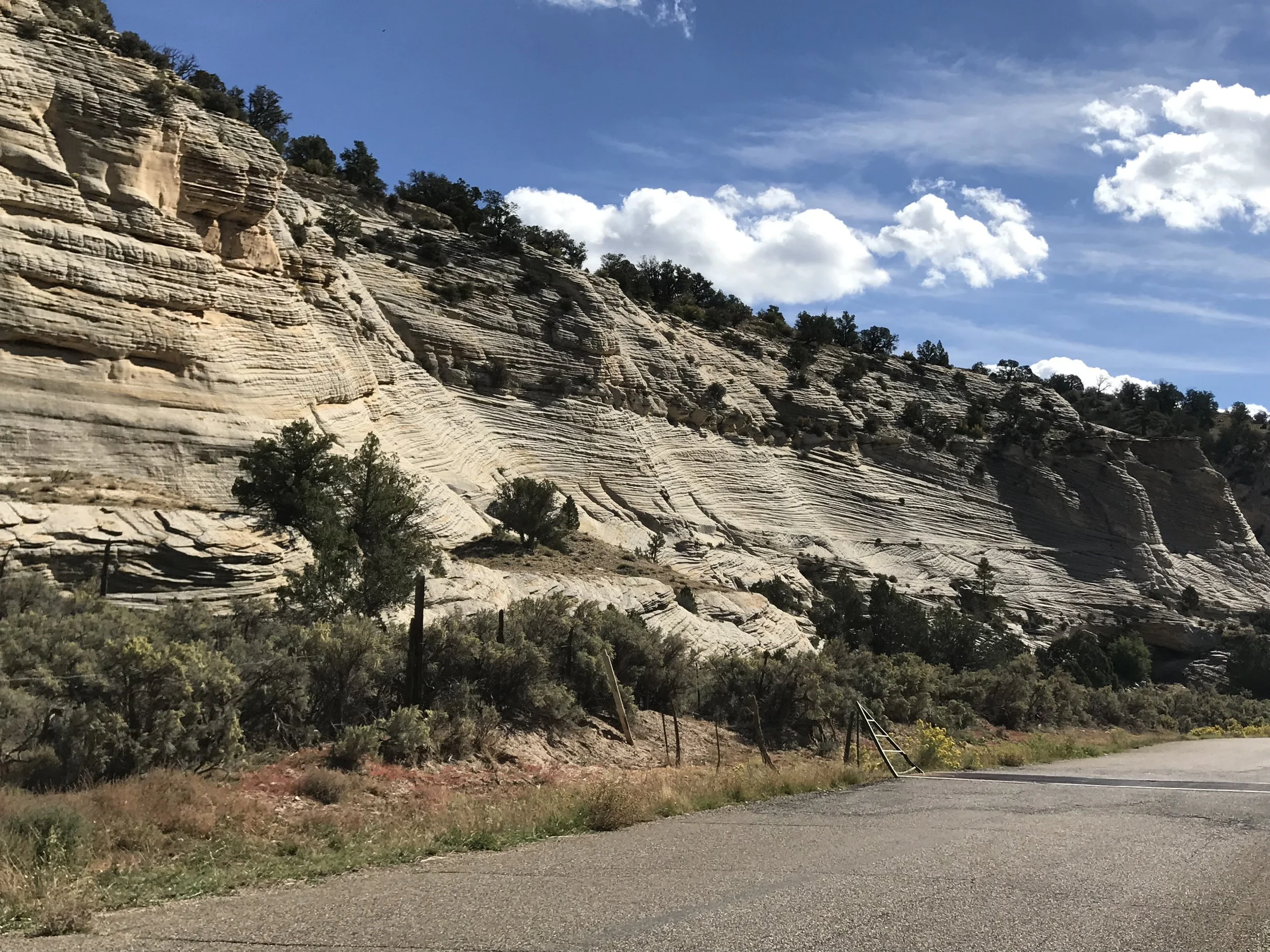
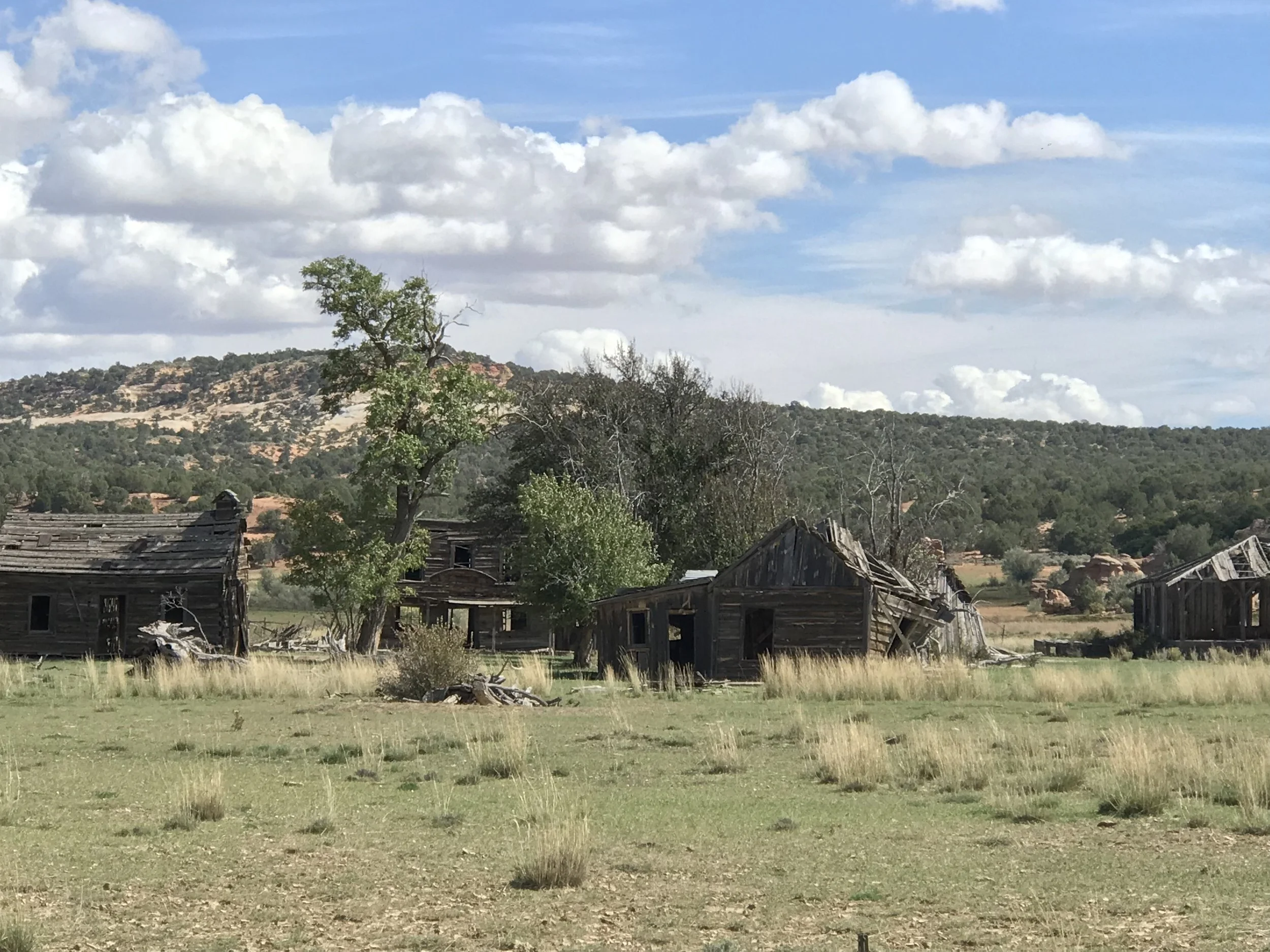
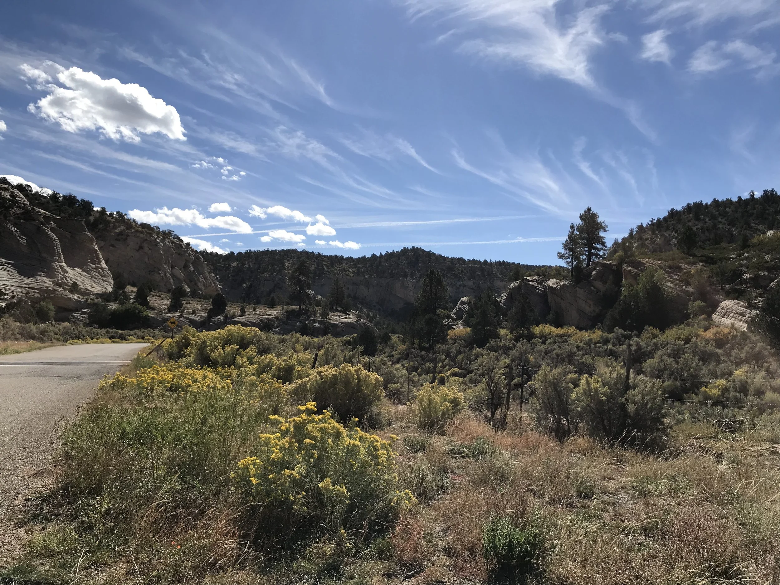
The brownish-red colors began to morph into chalky white rock outcroppings: I was entering Johnson Canyon. This is a very underrated drive. Well, perhaps not underrated, but definitely not talked about enough! Not only are the swirling, white craggy bluffs easy on the eyes, but as I wound through farmland farther down the canyon, I stopped as soon as I saw the wooden sticks of a ghost town.
At this point, I had cell signal and while I hadn’t seen or heard from Matt yet, I knew they would have started their journey by now. I googled where I was, trying to learn the name of the ghost town, only to find it was actually the old movie set for Gunsmoke. It’s on private land, so off-limits to curious tourists, yet it’s still easy enough to see and get a few photos from the road.
Now came the hot stretch. Officially out of the rocky canyon and committed to a hot, straight, flat stretch of pavement through farmland, I sweat through my shirt while appreciating the colors, cows, and speed. This was when I caught sight of Matt and Eric and we planned on where to meet at the end of my ride.
This is where my second reason for appreciating a plan - and changes to that plan - comes into play. From where Johnson Canyon Road empties onto Highway 89, it’s only about four miles into town. I thought I would just ride on the highway shoulder into town and meet them at Willow Canyon Outdoor (gear AND coffee shop - can it get any better?).
Well, once I rode out into the open, away from the canyon and valley, the wind picked up dramatically. I didn’t even mind the rain that was building, but as I entered the highway shoulder, that strong wind became a crosswind. Add semi trucks passing at 80mph with the pushing and suction of those wind currents, and riding the shoulder became really sketchy, really quickly.
Fortunately, Matt read the situation from the truck and stopped about a mile up the highway on a pullout to wait for me. I was happy to call it a day and not get beat-up by the wind and traffic after an already epic - and tough - ride.
Would I do it again? If I could have someone drop me off after that first 1400+ foot climb, you bet! Truly, though, this was a very memorable and gorgeous backdrop for a gravel ride in close proximity to Kanab with plenty of neat geology, public land appreciation, wildlife, and history.
