Review: Garmin inReach Devices
This post contains affiliate links. If you make a purchase through our links, we make a small commission at no additional cost to you. Thank you!
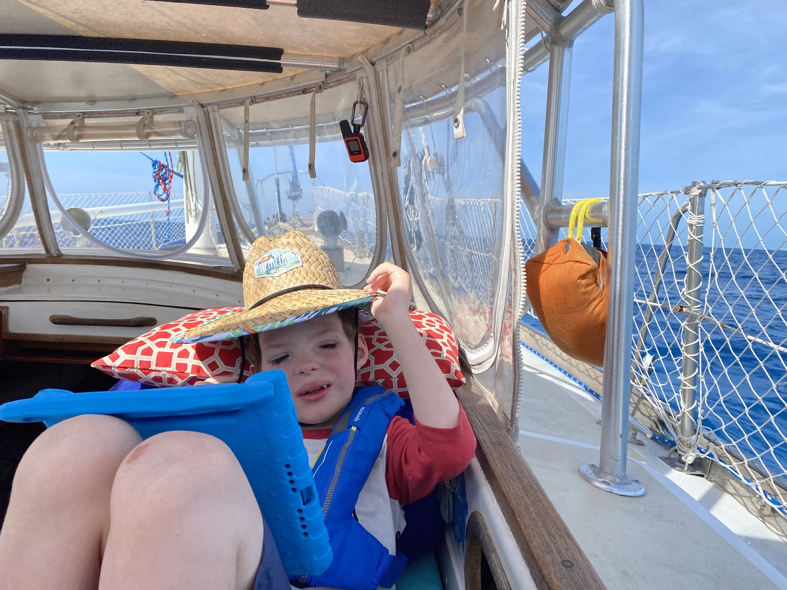
Sailing easy, knowing that we are still in touch via Garmin inReach Satellite technology - even in open water! (That’s the inReach Mini hanging above Eric’s head)
We have owned and used the Garmin inReach Satellite Communication system now for several years and it was a game changer with our safety communication/connection while traveling in remote places. To take it straight from the source, “With inReach satellite technology from Garmin and an active satellite subscription, you can stay in touch globally. You can send and receive messages, navigate your route, track and share your journey and, if necessary, trigger an SOS to a 24/7 staffed global emergency response coordination center via the 100% global Iridium® satellite network.”
It’s amazing.
It has been an excellent tool and is now something that we don’t start an adventure without. We have used it several times (fortunately not to call for help), simply setting up the tracker so that family and friends can follow and check in on us when we are otherwise unreachable via phones. That might be off-shore, in the mountains, or on a remote gravel road in the woods. There have been a few times that we reached out to get weather forecasts while sailing, which was a real help when we were questioning conditions.
Think of it as a tool to backup your skills, preparation, and intuition that can help emergency personnel find you if something goes very wrong, while also giving your loved ones peace of mind when everything is going perfectly right. Cristen loves her solo adventures and we all feel good when she goes with the inReach Mini clipped to her hydration pack - both so she’s safer and so we can see where her pedaling is taking her!
Garmin is including the inReach technology in a lot more of their devices, which is exciting. It is truly one of your best back-up tools in the backcountry that can get you out of a pinch. Which Garmin device works best for you is going to be based on your specific needs and what you want to carry - and don’t want to carry - into the field. More bells and whistles equals larger size, or bulk, and more weight. Granted, we’re not talking about anything huge with any of their options, but it’s something to consider.
We primarily use the Garmin inReach Mini because of its small size and that it’s easily be paired with our cell phones via the app. This way, we have access to a lot of features. Other people may not want to worry about carrying their cell phone into the field and think about keeping everything charged (we carry battery backups). In this case, something like the Garmin Montana 700 Series that has a rugged design with a large screen and saves maps of the area to help hunters and hikers navigate in the backcountry could be a perfect fit.
Not hiking or hunting? No problem. Garmin has great devices with the inReach system for boaters of all vessels that include charts of waterways. They even have devices for aviation. Having options has rarely been an issue when looking at Garmin devices - choosing just one, on the other hand…
… we kid, we kid… and seriously, if you need something from that’s general or very specific, they probably have a device that will work for you.
Family in Florida have used it during hurricane events, we use it during tornado seasoning Missouri, and family in Oregon communicated with us during wildfires when cell towers were down from wind and fire.
Once your device is selected, you will need to pick a subscription plan. This subscription is month-by-month and canceled/on-hold when you aren’t actively using it, or they have annual plans. It can be kept at the cheapest, most simplistic level of subscription, or increased to their “Expedition” level which includes a faster tracking rate and unlimited texts.
That said, we leave our plan running because they even make a great back-up device in the case that a natural disaster takes out land-based communications in your area. That’s right: in areas that Mother Nature sometimes doesn’t play nicely, you can still let family and friends know you are ok, or signal rescuers your location with an SOS. Not bad insurance with plans starting at $12 a month! As a matter of fact, family in Florida have used it during hurricane events, we use it during tornado season, and family in Oregon communicated with us during wildfires when cell towers were down. We now keep it in our emergency kit when we aren’t actively adventuring.
We do get a lot of questions about what we use for safety communication and hope that this has been helpful. When looking for a great adventure communication tool to take with you or when regular communications don’t work and you want to be better prepared, Garmin inReach tech adds incredible peace of mind.
If you have any questions please feel free to reach out and ask!
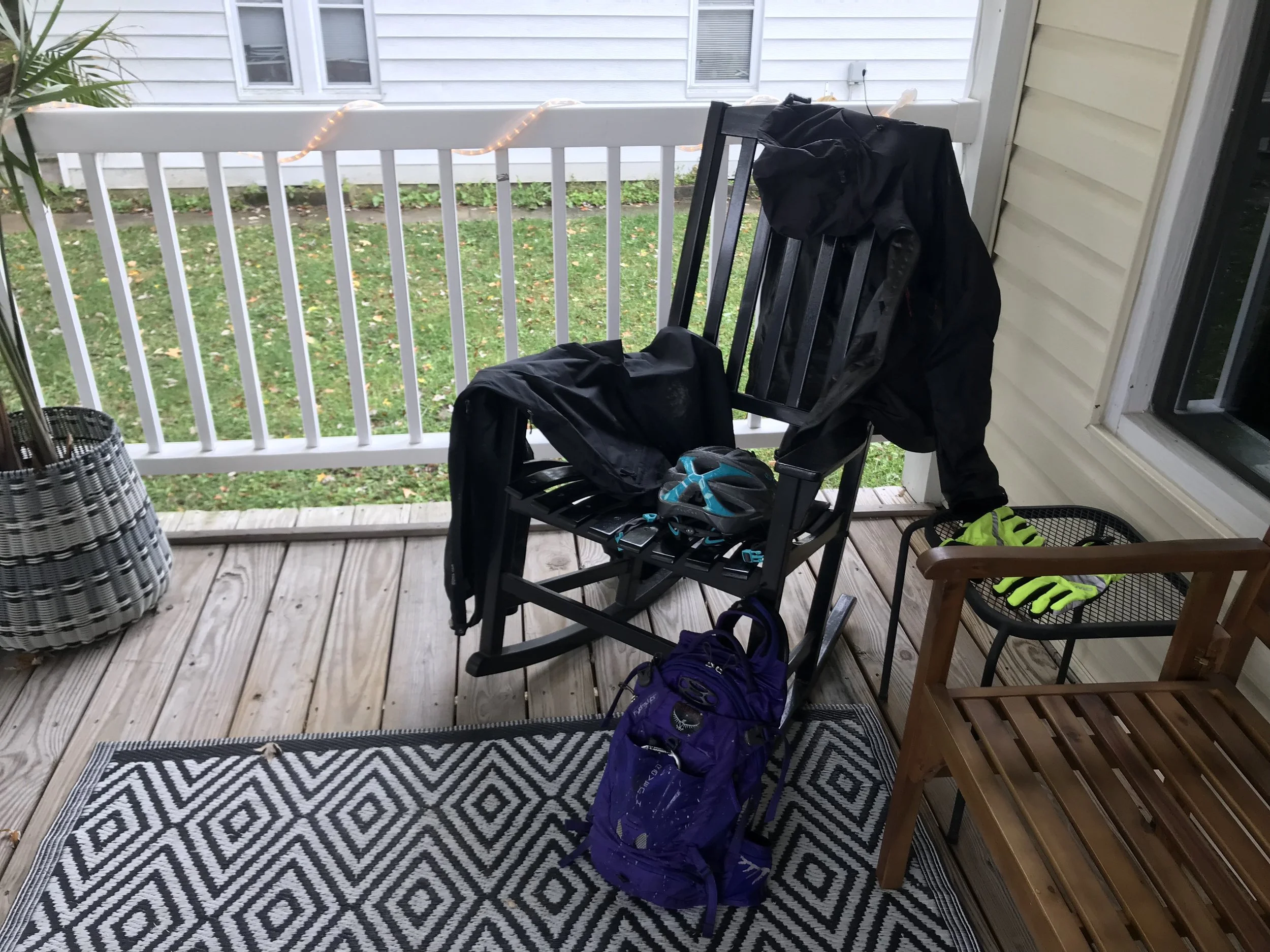
Can’t see it, can you? Because the Garmin inReach Mini is so small, it tucks into the front slash pocket of my hydration pack (it’s on the carabiner). Parts of the Katy Trail are remote and it was nice to get weather updates.

